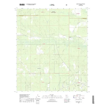
2020 Map of Simpson North
USGS Topo · Published 2020About this map
The northern reaches of Fort Polk and the southern edge of Kisatchie National Forest define this 2020 landscape in Vernon and Natchitoches Parishes. The small settlement of Hutton sits along Allen Br, surrounded by a dense network of timber-access roads like Black Jack Loop and Hillman Loop. This modern survey reveals how the military reservation and national forest boundaries intersect with a local terrain carved by water, including Comrade Cr, Little Bayou Pierre, and the Cowpen Gully. Genealogical interest is found in the scattered rural burial grounds that persist in the area, such as Robinson Cem, Ballview Cem, and Welcome Cem, which are tucked away near local routes like Welcome Cemetery Rd.
Find a feature on this map
63 named features on this map. Tap any name to fly to it.
Don’t see what you’re looking for? This feature index may not catch every label — zoom into the map to look around manually.
Map Details
Editions of this 2020 Simpson North Map
This is the sole edition of this map. No revisions or reprints were ever made.
Other maps of this area

1937 · Chopin SW
USGS Topo · 1:31,680

1937 · Chopin NW
USGS Topo · 1:31,680

1941 · Slagle
USGS Topo · 1:62,500

1942 · Kisatchie
USGS Topo · 1:62,500

1943 · Leander
USGS Topo · 1:62,500

1943 · Kisatchie
USGS Topo · 1:62,500

1944 · Chopin
USGS Topo · 1:62,500

1944 · Slagle
USGS Topo · 1:62,500

1948 · Chopin
USGS Topo · 1:62,500

1953 · Alexandria
USGS Topo · 1:250,000