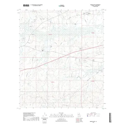
2018 Map of Simpson South
USGS Topo · Published 2018About this map
The Calcasieu River snakes across this portion of Vernon Parish, creating a broad wetland corridor including the Big Slough and Cowpen Gully. The landscape is defined by its transition from these river lowlands to the higher ground where settlements like Simpson, Walnut Hill, and Hicks are established. For genealogists, the map is particularly rich in burial sites, documenting Union Grove Cem, Mount Pleasant Cem, Holton Cem, and the uniquely named Glass Window Cem.
Find a feature on this map
73 named features on this map. Tap any name to fly to it.
Don’t see what you’re looking for? This feature index may not catch every label — zoom into the map to look around manually.
Map Details
Editions of this 2018 Simpson South Map
This is the sole edition of this map. No revisions or reprints were ever made.
Other maps of this area

1937 · Chopin SW
USGS Topo · 1:31,680

1941 · Slagle
USGS Topo · 1:62,500

1942 · Kisatchie
USGS Topo · 1:62,500

1943 · Leander
USGS Topo · 1:62,500

1943 · Kisatchie
USGS Topo · 1:62,500

1944 · Chopin
USGS Topo · 1:62,500

1944 · Slagle
USGS Topo · 1:62,500

1948 · Chopin
USGS Topo · 1:62,500

1953 · Alexandria
USGS Topo · 1:250,000
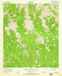
1954 · Birds Creek
USGS Topo · 1:24,000