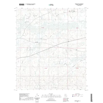
2020 Map of Simpson South
USGS Topo · Published 2020About this map
The Calcasieu River winds through this portion of Vernon Parish, anchoring a landscape defined by small rural settlements and a significant military presence. In the southern reach of the map, the transition from civilian lands to the boundaries of Fort Polk is marked by features like Infantry Lake, Artillery Lake, and Armor Lake, reflecting the region's long-standing role in military training. The settlement of Simpson sits at the northern edge, while Walnut Hill, Mayo, and Hicks are scattered across the central and eastern sections, connected by a dense network of local roads such as North Rd and Mayo Rd.
Find a feature on this map
70 named features on this map. Tap any name to fly to it.
Don’t see what you’re looking for? This feature index may not catch every label — zoom into the map to look around manually.
Map Details
Editions of this 2020 Simpson South Map
This is the sole edition of this map. No revisions or reprints were ever made.
Other maps of this area

1937 · Chopin SW
USGS Topo · 1:31,680

1941 · Slagle
USGS Topo · 1:62,500

1942 · Kisatchie
USGS Topo · 1:62,500

1943 · Leander
USGS Topo · 1:62,500

1943 · Kisatchie
USGS Topo · 1:62,500

1944 · Chopin
USGS Topo · 1:62,500

1944 · Slagle
USGS Topo · 1:62,500

1948 · Chopin
USGS Topo · 1:62,500

1953 · Alexandria
USGS Topo · 1:250,000
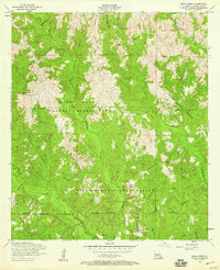
1954 · Birds Creek
USGS Topo · 1:24,000