Loading...
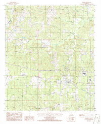
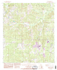
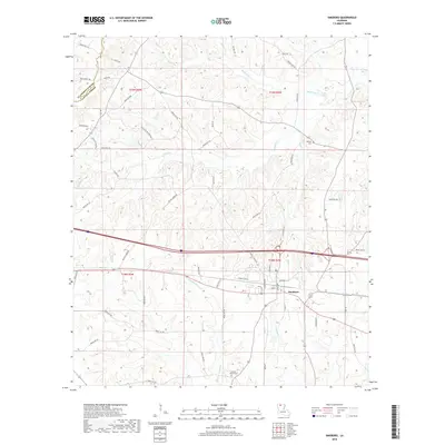
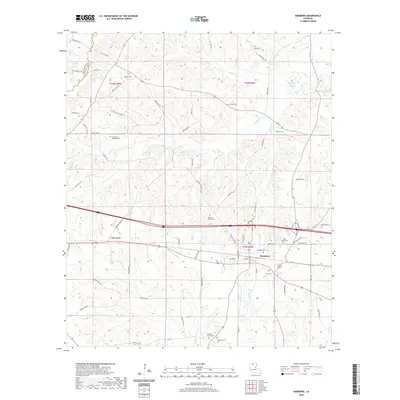
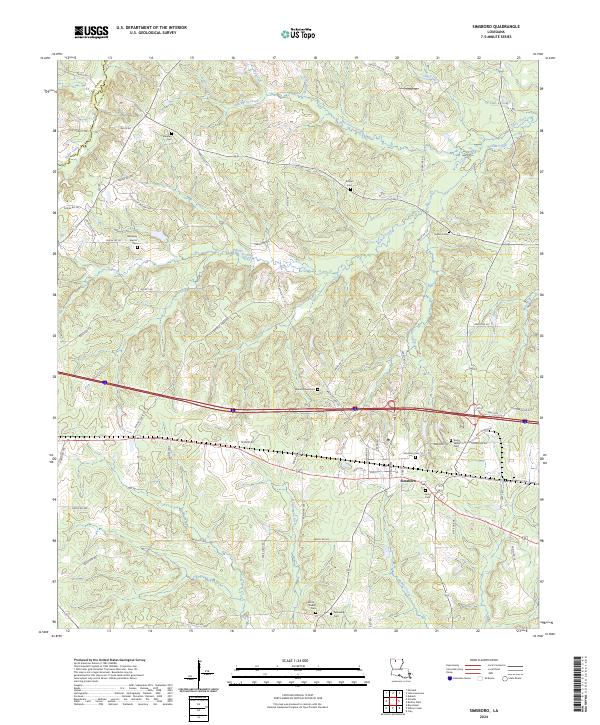
Loading map...1986 Map of Simsboro
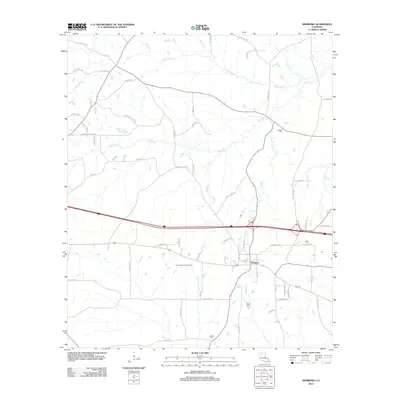
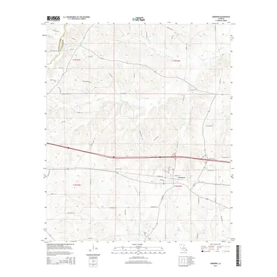
USGS Topo · Published 1986About this map
Simsboro sits at the intersection of local industry and the natural drainage systems of northern Louisiana, where the Illinois Central Gulf railroad cuts through a landscape defined by its creek networks. The town serves as a focal point for the surrounding rural territory, characterized by active extraction and utility infrastructure. Several Gas Field developments and a Gravel Pit indicate the region's reliance on natural resources during the mid-1980s.
Find a feature on this map
20 named features on this map. Tap any name to fly to it.
Don’t see what you’re looking for? This feature index may not catch every label — zoom into the map to look around manually.
Map Details
Date Portrayed1986
Date Published1986
PublisherU.S. Geological Survey
Map TypeTopographic
Scale1:24,000
Physical Dimensions22 x 26.8 inches
Editions of this 1986 Simsboro Map
This is the sole edition of this map. No revisions or reprints were ever made.
Historical Maps of Simsboro Through Time
7 maps found
Featured Locations
Source Details
SourceU.S. Geological Survey
CopyrightPublic Domain