Loading...
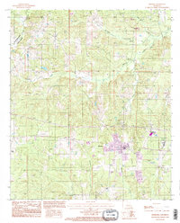
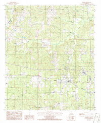
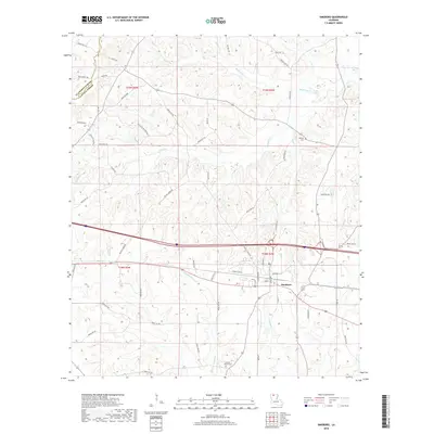
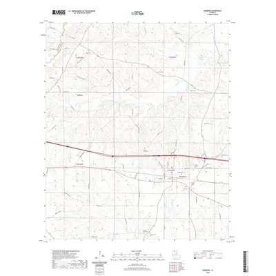
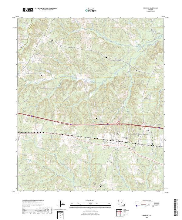
Loading map...1994 Map of Simsboro
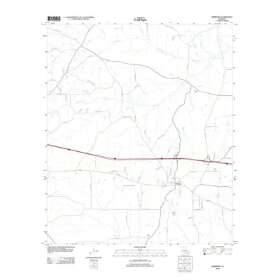
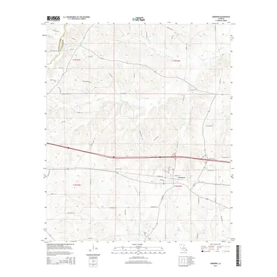
USGS Topo · Published 1995About this map
Simsboro sits at the heart of this mid-1990s landscape, serving as a hub where local roads and infrastructure converge near the headwaters of the Dugdemona River. This region of north-central Louisiana is defined by a dense network of waterways, including Sugar Creek, Mackeroy Creek, and Caney Creek, which carve through the terrain near the Claiborne Parish Lincoln Parish boundary.
Find a feature on this map
21 named features on this map. Tap any name to fly to it.
Don’t see what you’re looking for? This feature index may not catch every label — zoom into the map to look around manually.
Map Details
Date Portrayed1994
Date Published1995
PublisherU.S. Geological Survey
Map TypeTopographic
Scale1:24,000
Physical Dimensions21.6 x 26.8 inches
Editions of this 1994 Simsboro Map
This is the sole edition of this map. No revisions or reprints were ever made.
Historical Maps of Simsboro Through Time
7 maps found
Featured Locations
Source Details
SourceU.S. Geological Survey
CopyrightPublic Domain