2021 Map of Sinai
USGS Topo · Published 2021About this map
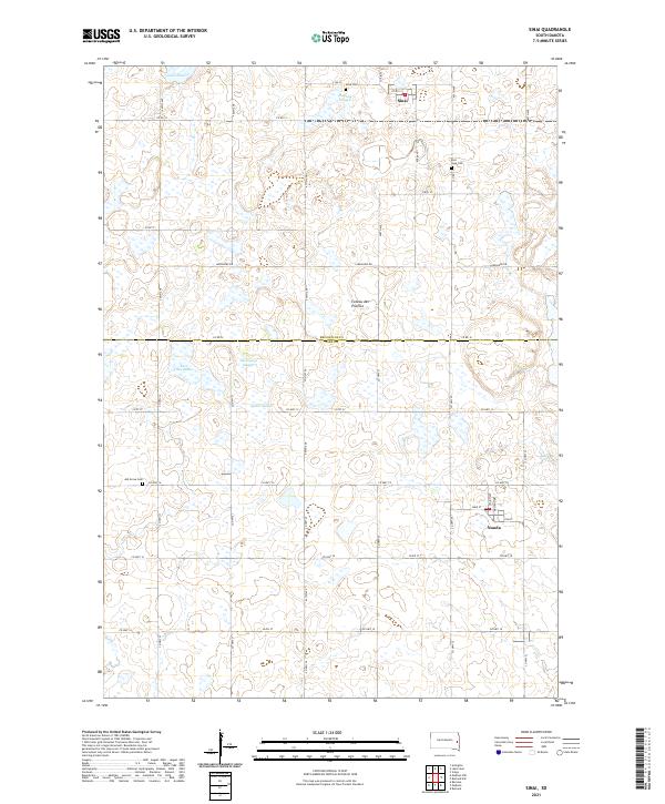
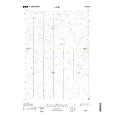
The Coteau des Prairies plateau defines this landscape along the border of Brookings and Lake counties, where glacial depressions have created a dense network of wetlands and seasonal lakes. The town of Sinai sits in the northern section near Bolstad Slough, while Nunda anchors the southeast, serving as local centers for the surrounding agricultural grid. Genealogists can identify several historic burial sites, including Sinai Cem, East Sinai Cem, and Ash Grove Cem, which are scattered among the section lines. The hydrology of the region is particularly prominent, featuring named bodies such as Lake Sinai, East Lake Badus, and Thompson Slough. This modern survey illustrates how established township roads like Co Rd 12 and 457th Ave continue to dictate the movement of people and goods through this prairie landscape.
Find a feature on this map
47 named features on this map. Tap any name to fly to it.
Don’t see what you’re looking for? This feature index may not catch every label — zoom into the map to look around manually.
Map Details
Editions of this 2021 Sinai Map
This is the sole edition of this map. No revisions or reprints were ever made.
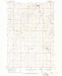
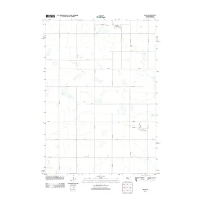
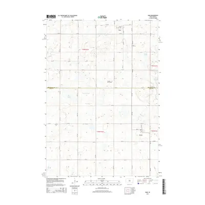
Historical Maps of Sinai Through Time
5 maps found
Featured Locations
- Oslo Township, SD
- Lake Sinai Township, SD
- Summit Township, SD
- Sinai, Lake Sinai Township
- Nunda, Nunda Township