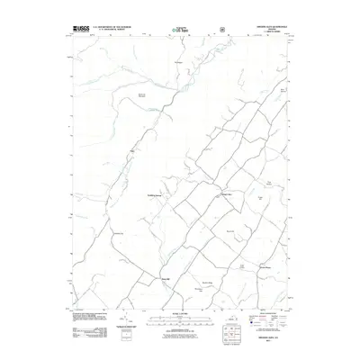
2011 Map of Singers Glen
USGS Topo · Published 2011About this map
Singers Glen serves as the central hub for this portion of Rockingham County, surrounded by a complex network of ridges and watercourses. The landscape is defined by the Shoemaker River and its numerous tributaries like Brock Creek and Muddy Creek, which carve through the valley floor. To the west, the rising elevations of Buck Lick Mountain and Hopkins Gap mark the transition toward the Appalachian highlands. Local industrial history is noted at Stultz Mill, while the resort community of Sparkling Springs indicates the region's historical draw for travelers. This 2011 survey documents a mix of agricultural land and small communities such as Green Mount and Palos, providing a detailed view of the settlement patterns and road networks that have developed around the West Fork Linville Creek drainage system.
Find a feature on this map
73 named features on this map. Tap any name to fly to it.
Don’t see what you’re looking for? This feature index may not catch every label — zoom into the map to look around manually.
Map Details
Editions of this 2011 Singers Glen Map
This is the sole edition of this map. No revisions or reprints were ever made.
Other maps of this area

1892 · Franklin
USGS Topo · 1:125,000

1892 · Woodstock
USGS Topo · 1:125,000

1892 · Harrisonburg
USGS Topo · 1:125,000

1894 · Staunton
USGS Topo · 1:125,000

1896 · Franklin
USGS Topo · 1:125,000

1922 · Fort Seybert
USGS Topo · 1:48,000

1924 · Fort Seybert
USGS Topo · 1:62,500

1941 · Harrisonburg
USGS Topo · 1:62,500

1943 · Harrisonburg
USGS Topo · 1:62,500

1944 · Parnassus
USGS Topo · 1:62,500