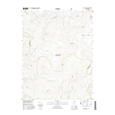
2016 Map of Sinks of Gandy
USGS Topo · Published 2016About this map
Monongahela National Forest encompasses this high-elevation landscape where the headwaters of several major river systems originate. The terrain is defined by a series of parallel ridges and deep valleys, including Rich Mtn and Little Beech Mtn, which separate the various forks of the Cheat and Greenbrier rivers. A notable geological feature is the Sinks of Gandy, a location where Gandy Cr disappears underground through a limestone cavern. In the eastern portion of the map, the small settlement of Osceola sits near the head of Warner Run, while the unique high-altitude wetland of Blister Swamp lies to the southwest. The area is crisscrossed by remote routes like the E Fork Trail and provides a detailed view of the complex drainage network including the E Fork Greenbrier River and Laurel Fork.
Find a feature on this map
52 named features on this map. Tap any name to fly to it.
Don’t see what you’re looking for? This feature index may not catch every label — zoom into the map to look around manually.
Map Details
Editions of this 2016 Sinks of Gandy Map
This is the sole edition of this map. No revisions or reprints were ever made.
Other maps of this area

1889 · Beverly
USGS Topo · 1:125,000

1892 · Beverly
USGS Topo · 1:125,000

1909 · Elkins
USGS Topo · 1:62,500

1922 · Horton
USGS Topo · 1:48,000

1922 · Spruce Knob
USGS Topo · 1:48,000

1922 · Durbin
USGS Topo · 1:48,000

1924 · Durbin
USGS Topo · 1:62,500

1924 · Horton
USGS Topo · 1:62,500

1924 · Spruce Knob
USGS Topo · 1:62,500

1949 · Charlottesville
USGS Topo · 1:250,000