2019 Map of Sinks of Gandy
USGS Topo · Published 2019About this map
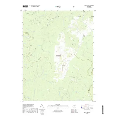
Osceola sits at the northern edge of this high-altitude landscape, where the waters of Gandy Cr disappear into the subterranean limestone passage known as the Sinks of Gandy. This 2019 survey documents a terrain defined by steep ridges and complex hydrology within the Monongahela National Forest. The map illustrates the headwaters of several significant West Virginia watercourses, including the E Fork Greenbrier River and the E Fork Glady Fork, which carve deep valleys between massive landforms like Rich Mtn and Burner Mtn. A rare ecological feature, Blister Swamp, is noted near Bayard Knob, highlighting the unique bog environments found in this portion of the Alleghenies. The area is intersected by the E Fork Trail and early transportation routes like the Class Q Rd, providing a detailed view of the remote access points into the high country.
Find a feature on this map
53 named features on this map. Tap any name to fly to it.
Don’t see what you’re looking for? This feature index may not catch every label — zoom into the map to look around manually.
Map Details
Editions of this 2019 Sinks of Gandy Map
This is the sole edition of this map. No revisions or reprints were ever made.
Other maps of this area

1889 · Beverly
USGS Topo · 1:125,000

1892 · Beverly
USGS Topo · 1:125,000

1909 · Elkins
USGS Topo · 1:62,500

1922 · Horton
USGS Topo · 1:48,000

1922 · Spruce Knob
USGS Topo · 1:48,000

1922 · Durbin
USGS Topo · 1:48,000

1924 · Durbin
USGS Topo · 1:62,500

1924 · Horton
USGS Topo · 1:62,500

1924 · Spruce Knob
USGS Topo · 1:62,500

1949 · Charlottesville
USGS Topo · 1:250,000