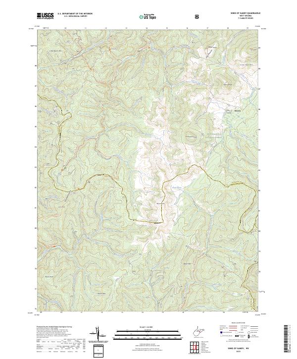
2023 Map of Sinks of Gandy
USGS Topo · Published 2023About this map
Sinks of Gandy, a unique geological formation where a stream disappears underground, highlights this detailed topographic study of the high-altitude terrain along the Randolph and Pocahontas county lines. The small settlement of Osceola sits near the headwaters of Gandy Creek, positioned between the towering elevations of Yokum Knob and Rich Mountain. This area is characterized by the intersection of several significant wilderness zones, including the Laurel Fork North Wilderness and Laurel Fork South Wilderness, both contained within the Monongahela National Forest.
Find a feature on this map
55 named features on this map. Tap any name to fly to it.
Don’t see what you’re looking for? This feature index may not catch every label — zoom into the map to look around manually.
Map Details
Editions of this 2023 Sinks of Gandy Map
This is the sole edition of this map. No revisions or reprints were ever made.
Other maps of this area

1889 · Beverly
USGS Topo · 1:125,000

1892 · Beverly
USGS Topo · 1:125,000

1909 · Elkins
USGS Topo · 1:62,500

1922 · Horton
USGS Topo · 1:48,000

1922 · Spruce Knob
USGS Topo · 1:48,000

1922 · Durbin
USGS Topo · 1:48,000

1924 · Durbin
USGS Topo · 1:62,500

1924 · Horton
USGS Topo · 1:62,500

1924 · Spruce Knob
USGS Topo · 1:62,500

1949 · Charlottesville
USGS Topo · 1:250,000