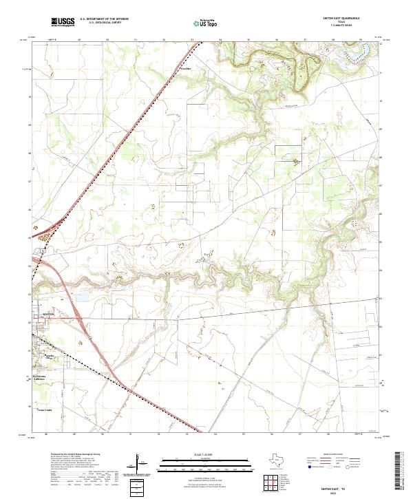
2022 Map of Sinton East
USGS Topo · Published 2022This historical map portrays the area of Sinton East in 2022, primarily covering San Patricio County as well as portions of Refugio County. Featuring a scale of 1:24000, this map provides a highly detailed snapshot of the terrain, roads, buildings, counties, and historical landmarks in the Sinton East region at the time. Published in 2022, it is the sole known edition of this map.
Map Details
Editions of this 2022 Sinton East Map
This is the sole edition of this map. No revisions or reprints were ever made.
Historical Maps of Rancho Chico Addition Colonia Through Time
8 maps found
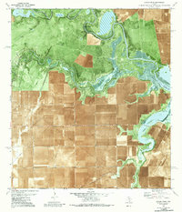
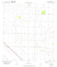
1979 Rincon Bend
San Patricio County, TX
1979 Sinton East
San Patricio County, TX
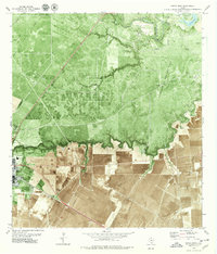
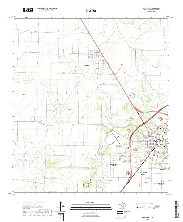
1979 Sinton West
San Patricio County, TX
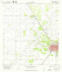
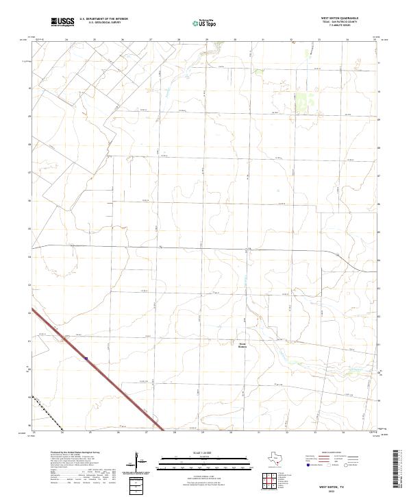
1979 West Sinton
San Patricio County, TX
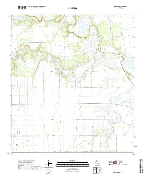
2022 Rincon Bend
San Patricio County, TX
2022 Sinton East
San Patricio County, TX
2022 Sinton West
San Patricio County, TX
2022 West Sinton
San Patricio County, TX
Featured Locations
- Ewelder, TX
- Third Rancho Chico Addition Colonia, TX
- Rancho Chico Addition Colonia, TX
- O'Farrell Acres Number 1 Colonia, TX
- Sinton, TX