
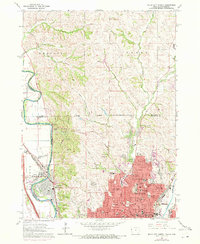
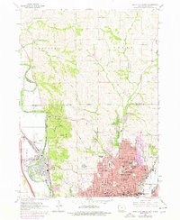
1963 Map of Sioux City North
USGS Topo · Published 1964About this map
Stone State Park dominates the western bluffs above the Big Sioux River, providing a natural buffer for the expanding urban reach of Sioux City. This early 1960s survey documents a landscape of educational and civic growth, featuring institutions like Briar Cliff College and numerous parochial schools including Heelan High Sch and Blessed Sacrament Sch. The residential grid of Riverside and the northern city limits is well-defined, pushing against the steep, drainage-carved terrain to the north where School No 4 and School No 5 still serve the rural townships.
Find a feature on this map
83 named features on this map. Tap any name to fly to it.
Don’t see what you’re looking for? This feature index may not catch every label — zoom into the map to look around manually.
Map Details
Editions of this 1963 Sioux City North Map
3 editions found
Other maps of this area

1898 · Elk Point
USGS Topo · 1:125,000

1901 · Elk Point
USGS Topo · 1:125,000

1907 · Elk Point
USGS Topo · 1:125,000

1955 · Sioux City
USGS Topo · 1:250,000

1958 · Sioux City
USGS Topo · 1:250,000

1959 · Sioux City
USGS Topo · 1:250,000

1963 · Sioux City South
USGS Topo · 1:24,000

1963 · Elk Point NE
USGS Topo · 1:24,000

1963 · Jefferson
USGS Topo · 1:24,000

1964 · Sergeant Bluff
USGS Topo · 1:24,000