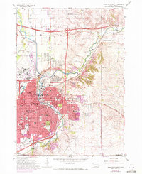
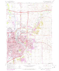
1962 Map of Sioux Falls East
USGS Topo · Published 1972About this map
The Big Sioux River and its Diversion Canal define the northern and eastern edges of Sioux Falls in this 1960s study, updated to show the city's early 1970s expansion. The dense urban center features a concentration of civic and educational landmarks, including Augustana College, Sioux Falls College, and the School for the Deaf. The city's northern industrial and municipal footprint is marked by the State Prison and State Prison Farm, while Foss Field serves the region's aviation needs.
Find a feature on this map
86 named features on this map. Tap any name to fly to it.
Don’t see what you’re looking for? This feature index may not catch every label — zoom into the map to look around manually.
Map Details
Editions of this 1962 Sioux Falls East Map
3 editions found
Other maps of this area

1897 · Canton
USGS Topo · 1:125,000

1900 · Canton
USGS Topo · 1:125,000

1955 · Sioux Falls
USGS Topo · 1:250,000

1958 · Sioux Falls
USGS Topo · 1:250,000
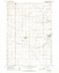
1962 · Renner
USGS Topo · 1:24,000
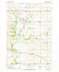
1962 · Klondike
USGS Topo · 1:24,000
1962 · Harrisburg
USGS Topo · 1:24,000
1962 · Brandon
USGS Topo · 1:24,000
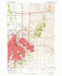
1962 · Sioux Falls East
USGS Topo · 1:24,000
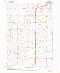
1962 · Tea
USGS Topo · 1:24,000
Featured Places
- Sioux Falls, SD
- Brandon, SD
- Pine Lakes Addition, Split Rock Township
- Springdale Township, SD
- Delapre Township, SD