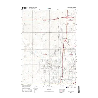
2015 Map of Sioux Falls West
USGS Topo · Published 2015About this map
The expanding western edge of Sioux Falls meets the rural plains in this 2015 study, documenting the city's modern suburban and industrial growth. The landscape is defined by the convergence of major hydrology, where Skunk Cr and Willow Cr join the southern flow of the Big Sioux River. Evidence of established rural communities persists at Ellis and Ellis Corner, while newer developments like Skyline Heights and Swanson's Tracts indicate the northward and westward push of residential subdivision. Educational and professional infrastructure is prominent, anchored by the Southeast Technical Institute and the National American University-Sioux Falls. Historically significant sites, including Bethel Cem and Berg Cem, provide fixed points of reference amidst the rapidly changing grid of roads such as W Benson Rd and W Maple St.
Find a feature on this map
94 named features on this map. Tap any name to fly to it.
Don’t see what you’re looking for? This feature index may not catch every label — zoom into the map to look around manually.
Map Details
Editions of this 2015 Sioux Falls West Map
This is the sole edition of this map. No revisions or reprints were ever made.
Other maps of this area

1897 · Canton
USGS Topo · 1:125,000

1900 · Canton
USGS Topo · 1:125,000

1955 · Sioux Falls
USGS Topo · 1:250,000

1958 · Sioux Falls
USGS Topo · 1:250,000

1962 · Renner
USGS Topo · 1:24,000

1962 · Harrisburg
USGS Topo · 1:24,000

1962 · Sioux Falls East
USGS Topo · 1:24,000

1962 · Tea
USGS Topo · 1:24,000

1962 · Hartford South
USGS Topo · 1:24,000

1962 · Lennox NW
USGS Topo · 1:24,000