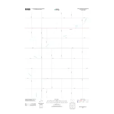
2013 Map of Sioux Rapids SE
USGS Topo · Published 2013About this map
The N Raccoon River defines this agricultural landscape in Buena Vista County, cutting a meandering path through a rigid grid of rural roads. This 2013 survey illustrates the highly organized township-and-range section layout characteristic of the Iowa prairie, where numbered thoroughfares like 150th Ave and 200th Ave intersect at precise intervals with east-west routes such as 450th St and 500th St. One of the few non-infrastructure labels on the map is the Nagel Hog Farm, which highlights the specialized livestock production that has become a central component of modern Midwestern industrial farming. The contrast between the natural curves of the river and the artificial geometry of the fields and roads emphasizes the total transformation of the prairie into a highly managed productive environment.
Find a feature on this map
16 named features on this map. Tap any name to fly to it.
Don’t see what you’re looking for? This feature index may not catch every label — zoom into the map to look around manually.
Map Details
Editions of this 2013 Sioux Rapids SE Map
This is the sole edition of this map. No revisions or reprints were ever made.
Other maps of this area

1954 · Fort Dodge
USGS Topo · 1:250,000

1957 · Fort Dodge
USGS Topo · 1:250,000

1958 · Fort Dodge
USGS Topo · 1:250,000

1971 · Sioux Rapids SE
USGS Topo · 1:24,000

1971 · Albert City
USGS Topo · 1:24,000

1971 · Rembrandt
USGS Topo · 1:24,000

1971 · Sioux Rapids
USGS Topo · 1:24,000

1971 · Rush Lake West
USGS Topo · 1:24,000

1971 · Webb
USGS Topo · 1:24,000

1979 · Storm Lake
USGS Topo · 1:24,000