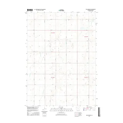
2015 Map of Sioux Rapids SE
USGS Topo · Published 2015About this map
N Raccoon River meanders across this rural Iowa landscape, defining the topography of Buena Vista County in the mid-2010s. The map illustrates a strictly organized agricultural grid, where section lines are traced by an extensive network of local roads including 460th St, 500th St, and 150th Ave. This rectangular survey system is anchored by Co Hwy M50, which serves as a primary north-south corridor through the townships of t93n r36w and t92n r36w. The intersection of river hydrology and human-engineered road grids reveals the enduring layout of prairie farmsteads and field boundaries characteristic of the region's modern agricultural era.
Find a feature on this map
20 named features on this map. Tap any name to fly to it.
Don’t see what you’re looking for? This feature index may not catch every label — zoom into the map to look around manually.
Map Details
Editions of this 2015 Sioux Rapids SE Map
This is the sole edition of this map. No revisions or reprints were ever made.
Other maps of this area

1954 · Fort Dodge
USGS Topo · 1:250,000

1957 · Fort Dodge
USGS Topo · 1:250,000

1958 · Fort Dodge
USGS Topo · 1:250,000

1971 · Sioux Rapids SE
USGS Topo · 1:24,000

1971 · Albert City
USGS Topo · 1:24,000

1971 · Rembrandt
USGS Topo · 1:24,000

1971 · Sioux Rapids
USGS Topo · 1:24,000

1971 · Rush Lake West
USGS Topo · 1:24,000

1971 · Webb
USGS Topo · 1:24,000

1979 · Storm Lake
USGS Topo · 1:24,000