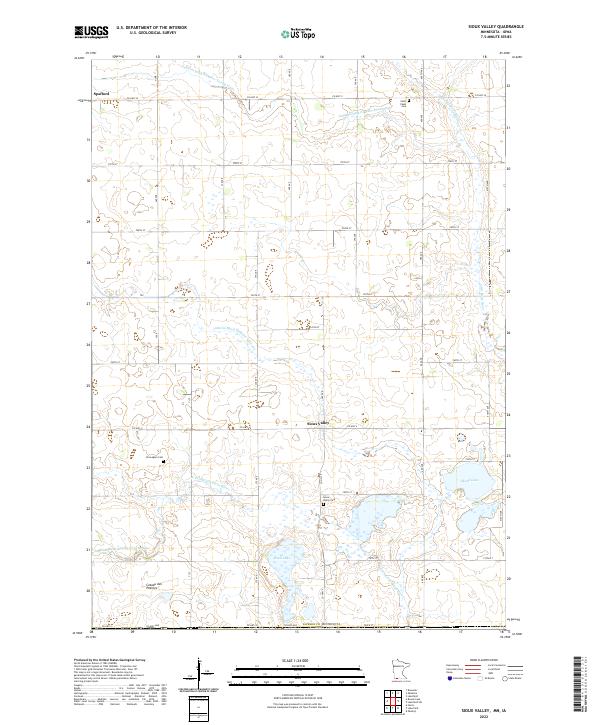
2022 Map of Sioux Valley
USGS Topo · Published 2022About this map
The Coteau des Prairies upland plateau defines the landscape of Jackson County, where agricultural drainage systems like Judicial Ditch Number Twentyeight and Judicial Ditch Number Thirteen have long supported the region's farming economy. The settlement of Sioux Valley sits at the heart of this grid, surrounded by evidence of early pioneer heritage in the form of the Sioux Valley Cem, Norwegian Cem, and Saint Pauls Cem. These burial grounds and the small community of Spafford to the northwest offer clear anchor points for genealogists tracing family roots in this corner of Minnesota near the Iowa border.
Find a feature on this map
33 named features on this map. Tap any name to fly to it.
Don’t see what you’re looking for? This feature index may not catch every label — zoom into the map to look around manually.
Map Details
Editions of this 2022 Sioux Valley Map
This is the sole edition of this map. No revisions or reprints were ever made.
Other maps of this area

1954 · Fairmont
USGS Topo · 1:250,000

1958 · Fairmont
USGS Topo · 1:250,000

1960 · Brewster
USGS Topo · 1:24,000

1960 · Okabena
USGS Topo · 1:24,000

1960 · Round Lake
USGS Topo · 1:24,000

1960 · Sioux Valley
USGS Topo · 1:24,000

1970 · Lakefield SW
USGS Topo · 1:24,000

1970 · Okoboji
USGS Topo · 1:24,000

1970 · Lakefield
USGS Topo · 1:24,000

1970 · Harris
USGS Topo · 1:24,000