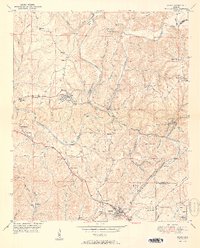
1951 Map of Sipsey
USGS Topo · Published 1951About this map
The Sipsey Fork Mulberry River snakes through the heart of the Warrior Coal Basin, its deep meanders like Magbee Bend and Burton Bend carving a path between the plateau's ridges. The landscape is defined by the industrial extraction of the mid-century, with numerous Strip Mine operations and a massive Mine Dump near Sumiton. These workings are supported by a heavy rail network, primarily the St Louis San Francisco railroad, which links the mining communities of Empire, Sipsey, and Dora Junction.
Find a feature on this map
70 named features on this map. Tap any name to fly to it.
Don’t see what you’re looking for? This feature index may not catch every label — zoom into the map to look around manually.
Map Details
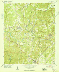
Editions of this 1951 Sipsey Map
2 editions found
Other maps of this area

1889 · Birmingham
USGS Topo · 1:125,000

1892 · Birmingham
USGS Topo · 1:125,000

1893 · Jasper
USGS Topo · 1:125,000

1895 · Birmingham
USGS Topo · 1:125,000

1904 · Birmingham Coal District
USGS Topo · 1:62,500

1906 · Birmingham Special
USGS Topo · 1:62,500

1907 · Birmingham
USGS Topo · 1:125,000

1935 · Port Birmingham
USGS Topo · 1:48,000

1938 · Port Birmingham
USGS Topo · 1:62,500

1949 · Cordova
USGS Topo · 1:24,000