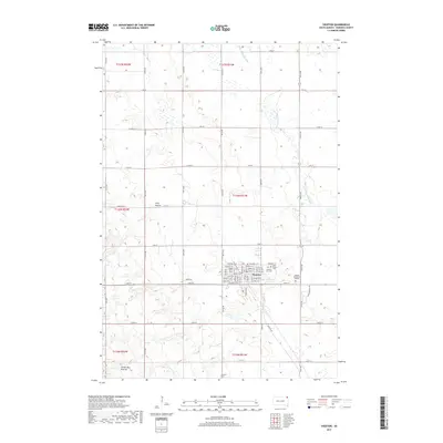
2017 Map of Sisseton
USGS Topo · Published 2017About this map
Sisseton serves as the focal point of this 2017 survey in Roberts County, South Dakota. Located at the edge of the Coteau des Prairies, the community is mapped in high detail, showing its established street grid and key local institutions such as the Sisseton Wahpeton College and Saint Peters Cemetery. The landscape is defined by the headwaters of the Little Minnesota River, which meanders through the northeastern portion of the quadrangle. The map captures the interface between the organized town layout and the surrounding rural terrain, where various township and range lines meet. Researchers will find numerous locally named roads, including Toxivk Rd and Indian Rte 8, which provide a look at the modern transport network supporting this area of the Sisseton Wahpeton Overseas Indian Reservation.
Find a feature on this map
2 named features on this map. Tap any name to fly to it.
Don’t see what you’re looking for? This feature index may not catch every label — zoom into the map to look around manually.
Map Details
Editions of this 2017 Sisseton Map
This is the sole edition of this map. No revisions or reprints were ever made.
Other maps of this area

1916 · Peever
USGS Topo · 1:62,500

1917 · New Effington
USGS Topo · 1:62,500

1918 · Peever
USGS Topo · 1:62,500

1953 · Milbank
USGS Topo · 1:250,000

1958 · Milbank
USGS Topo · 1:250,000

1964 · Claire City
USGS Topo · 1:24,000

1964 · Claire City SW
USGS Topo · 1:24,000

1970 · Whitestone Lake
USGS Topo · 1:24,000

1970 · Sisseton
USGS Topo · 1:24,000

1970 · Goodwill
USGS Topo · 1:24,000