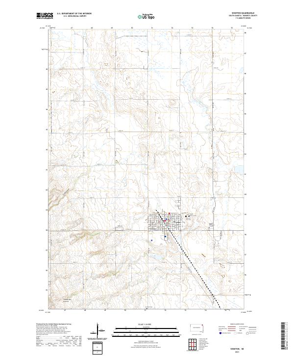
2021 Map of Sisseton
USGS Topo · Published 2021About this map
The city of Sisseton serves as the focal point for this survey of the northeast South Dakota plains, situated within the Lake Traverse Reservation. As the seat of local government, the town is anchored by the Roberts County Courthouse and features a traditional street grid including names like Chestnut St, Spruce St E, and Walnut St E. On the eastern edge of the community, Sisseton Wahpeton College represents a significant center for higher education and tribal heritage. The surrounding landscape is characterized by the rolling terrain of the Coteau des Prairies, with the drainage of the Little Minnesota River carving through the eastern sections. Local history is preserved in several burial grounds, including the Sisseton City Cem, Saint Peter's Cem, and Goodwill Cem, while the natural depression of Long Hollow defines the western approach to the city via Indian Rte 8.
Find a feature on this map
41 named features on this map. Tap any name to fly to it.
Don’t see what you’re looking for? This feature index may not catch every label — zoom into the map to look around manually.
Map Details
Editions of this 2021 Sisseton Map
This is the sole edition of this map. No revisions or reprints were ever made.
Other maps of this area

1916 · Peever
USGS Topo · 1:62,500

1917 · New Effington
USGS Topo · 1:62,500

1918 · Peever
USGS Topo · 1:62,500

1953 · Milbank
USGS Topo · 1:250,000

1958 · Milbank
USGS Topo · 1:250,000

1964 · Claire City
USGS Topo · 1:24,000

1964 · Claire City SW
USGS Topo · 1:24,000

1970 · Whitestone Lake
USGS Topo · 1:24,000

1970 · Sisseton
USGS Topo · 1:24,000

1970 · Goodwill
USGS Topo · 1:24,000