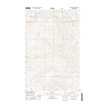
2014 Map of Sitdown Mountain
USGS Topo · Published 2014About this map
Colville National Forest and the Colville Indian Reservation meet in this mountainous region of the Pacific Northwest, where high ridges and deep drainages define the landscape. The map reveals a network of lookouts and forest management infrastructure, including Paint Rock Lookout and Lynx Creek Lookout, which serve as critical high-ground vantage points. These stations overlook a series of peaks such as Sitdown Mtn, Grizzly Mtn, and Lynx Mtn.
Find a feature on this map
41 named features on this map. Tap any name to fly to it.
Don’t see what you’re looking for? This feature index may not catch every label — zoom into the map to look around manually.
Map Details
Editions of this 2014 Sitdown Mountain Map
This is the sole edition of this map. No revisions or reprints were ever made.
Other maps of this area

1904 · Republic
USGS Topo · 1:125,000

1936 · Marcus
USGS Topo · 1:96,000

1942 · Marcus
USGS Topo · 1:125,000

1948 · Republic
USGS Topo · 1:62,500

1948 · Sherman Peak
USGS Topo · 1:62,500

1951 · Sherman Peak
USGS Topo · 1:62,500

1951 · Republic
USGS Topo · 1:62,500

1952 · Twin Lakes
USGS Topo · 1:62,500

1953 · Seventeenmile Mtn.
USGS Topo · 1:62,500

1954 · Okanogan
USGS Topo · 1:250,000