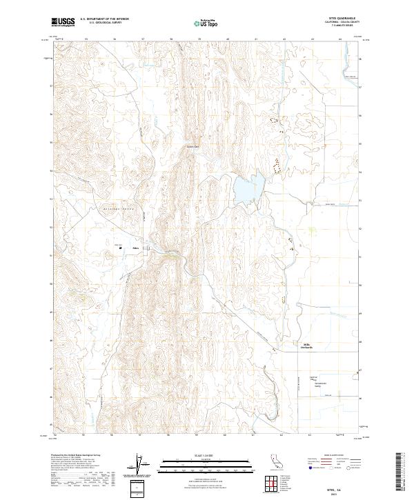
2021 Map of Sites
USGS Topo · Published 2021About this map
Antelope Valley and the western edge of the Sacramento Valley define this landscape in western Colusa County, where the historic ranching settlement of Sites remains a central point of interest. This 2021 survey details the sophisticated water management systems vital to the region's agriculture, including the massive Tehama Colusa Canal and Glenn-Colusa Canal that cut through the valley floor. The geography is marked by the sharp rise of Logan Ridge to the north and the curious drainage of Salt Lake near the northern boundary. Genealogists will find the Sites Cem preserved on the hillside just west of the townsite. Further south, the landscape transitions toward Mills Orchards, illustrating the long-standing agricultural development along the Stone Corral Cr and Funks Creek drainage systems.
Find a feature on this map
29 named features on this map. Tap any name to fly to it.
Don’t see what you’re looking for? This feature index may not catch every label — zoom into the map to look around manually.
Map Details
Editions of this 2021 Sites Map
This is the sole edition of this map. No revisions or reprints were ever made.
Other maps of this area

1904 · Logan Creek
USGS Topo · 1:24,000

1904 · Sites
USGS Topo · 1:24,000

1905 · Fairview
USGS Topo · 1:24,000

1906 · Maxwell
USGS Topo · 1:62,500

1907 · Colusa
USGS Topo · 1:62,500

1917 · Logandale
USGS Topo · 1:31,680

1917 · Sites
USGS Topo · 1:31,680

1917 · Delevan
USGS Topo · 1:31,680

1918 · Williams
USGS Topo · 1:31,680

1918 · Logan Creek
USGS Topo · 1:31,680