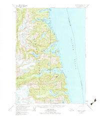
1951 Map of Sitka A-3
USGS Topo · Published 1983About this map
Baranof Island meets the deep waters of Chatham Strait in this mid-century topographic record. The landscape is characterized by steep glacial terrain and complex waterways, where the Baranof River drains through Baranof Lake and a Salt Lagoon into the sheltering waters of Warm Springs Bay. This specific location serves as a focal point of activity, featuring the settlement of Manleyville alongside a Seaplane Base and Gaging Sta.
Find a feature on this map
34 named features on this map. Tap any name to fly to it.
Don’t see what you’re looking for? This feature index may not catch every label — zoom into the map to look around manually.
Map Details
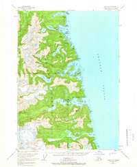
Editions of this 1951 Sitka A-3 Map
2 editions found
Other maps of this area

1948 · Sitka B-3
USGS Topo · 1:63,360

1948 · Sitka A-3
USGS Topo · 1:63,360

1948 · Sitka A-2
USGS Topo · 1:63,360

1948 · Sitka B-2
USGS Topo · 1:63,360

1951 · Sitka B-4
USGS Topo · 1:63,360

1951 · Sitka
USGS Topo · 1:250,000

1951 · Port Alexander D-4
USGS Topo · 1:63,360

1951 · Port Alexander D-3
USGS Topo · 1:63,360

1951 · Port Alexander
USGS Topo · 1:250,000

1951 · Port Alexander D-2
USGS Topo · 1:63,360