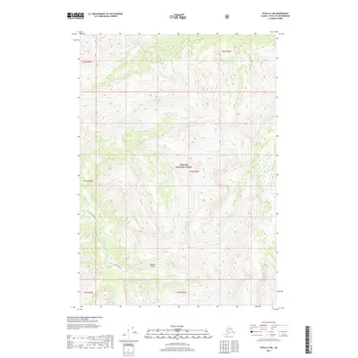
2017 Map of Sitka A-4 NE
USGS Topo · Published 2017About this map
Baranof Island presents a landscape defined by extreme relief and the dense drainage systems of the Tongass National Forest. This 2017 survey shows the intricate water network of the Katlian River as it cuts through the southwestern terrain, while the Glacial River drains the eastern slopes. Near the center of the sheet, Hogan Lake sits within a high-elevation basin, a notable landmark for those navigating this portion of the Sitka City and Borough. The map reveals the interplay between the massive alpine ridges and the coastal river valleys, documenting the geographic character of the Alexander Archipelago before modern developments or climate shifts potentially alter these glacial and fluvial paths.
Find a feature on this map
12 named features on this map. Tap any name to fly to it.
Don’t see what you’re looking for? This feature index may not catch every label — zoom into the map to look around manually.
Map Details
Editions of this 2017 Sitka A-4 NE Map
This is the sole edition of this map. No revisions or reprints were ever made.
Other maps of this area

1948 · Sitka B-3
USGS Topo · 1:63,360

1948 · Sitka A-3
USGS Topo · 1:63,360

1951 · Sitka B-4
USGS Topo · 1:63,360

1951 · Sitka
USGS Topo · 1:250,000

1951 · Sitka A-4
USGS Topo · 1:63,360

1951 · Sitka B-3
USGS Topo · 1:63,360
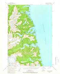
1951 · Sitka A-3
USGS Topo · 1:63,360

1952 · Sitka
USGS Topo · 1:250,000

1954 · Sitka A-4
USGS Topo · 1:63,360

1964 · Sitka
USGS Topo · 1:250,000