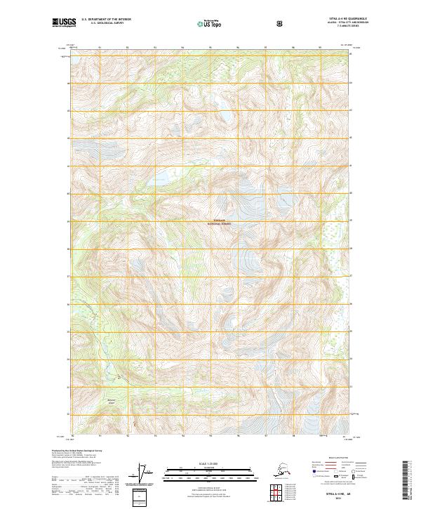
2021 Map of Sitka A-4 NE
USGS Topo · Published 2021About this map
Baranof Island terrain dominates this coastal region of Southeast Alaska, characterized by steep drainage systems and narrow valleys. The Tongass National Forest encompasses the entire landscape, where the Katlian River flows through the southwestern reaches and the Glacial River marks the eastern boundary. Hogan Lake sits at a high elevation, tucked between ridges in the northern portion of the quadrangle. The map details the complex Public Land Survey System divisions, including t54s r65e and t55s r64e, which define the administrative geography of this wilderness area within the Sitka City and Borough.
Find a feature on this map
11 named features on this map. Tap any name to fly to it.
Don’t see what you’re looking for? This feature index may not catch every label — zoom into the map to look around manually.
Map Details
Editions of this 2021 Sitka A-4 NE Map
This is the sole edition of this map. No revisions or reprints were ever made.
Other maps of this area

1948 · Sitka B-3
USGS Topo · 1:63,360

1948 · Sitka A-3
USGS Topo · 1:63,360

1951 · Sitka B-4
USGS Topo · 1:63,360

1951 · Sitka
USGS Topo · 1:250,000

1951 · Sitka A-4
USGS Topo · 1:63,360

1951 · Sitka B-3
USGS Topo · 1:63,360
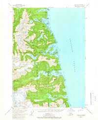
1951 · Sitka A-3
USGS Topo · 1:63,360

1952 · Sitka
USGS Topo · 1:250,000

1954 · Sitka A-4
USGS Topo · 1:63,360

1964 · Sitka
USGS Topo · 1:250,000