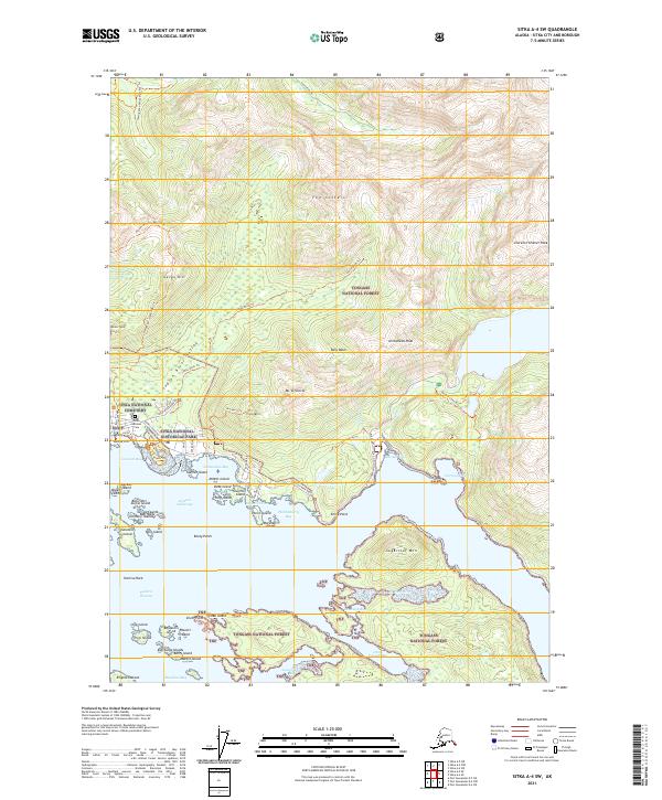
2021 Map of Sitka A-4 SW
USGS Topo · Published 2021About this map
Sitka National Historical Park and the adjacent Sitka National Cemetery anchor the coastal landscape of this Alaskan quadrangle. The map reveals a transition from the structured street grid of Jamestown Bay and the historical site at Castle Hill to the steep, wooded slopes of the Tongass National Forest. Numerous islands and islets, such as Kutkan Island and the Gillmore Islands, dot the waters of Eastern Anchorage and the Eastern Channel, illustrating the intricate shoreline of the Baranof Island coast.
Find a feature on this map
72 named features on this map. Tap any name to fly to it.
Don’t see what you’re looking for? This feature index may not catch every label — zoom into the map to look around manually.
Map Details
Editions of this 2021 Sitka A-4 SW Map
This is the sole edition of this map. No revisions or reprints were ever made.
Other maps of this area

1948 · Sitka A-5
USGS Topo · 1:63,360

1951 · Port Alexander D-5
USGS Topo · 1:63,360

1951 · Sitka
USGS Topo · 1:250,000

1951 · Port Alexander D-4
USGS Topo · 1:63,360

1951 · Port Alexander
USGS Topo · 1:250,000

1951 · Sitka A-4
USGS Topo · 1:63,360

1951 · Sitka A-5
USGS Topo · 1:63,360

1952 · Port Alexander
USGS Topo · 1:250,000

1952 · Sitka
USGS Topo · 1:250,000

1954 · Sitka A-4
USGS Topo · 1:63,360