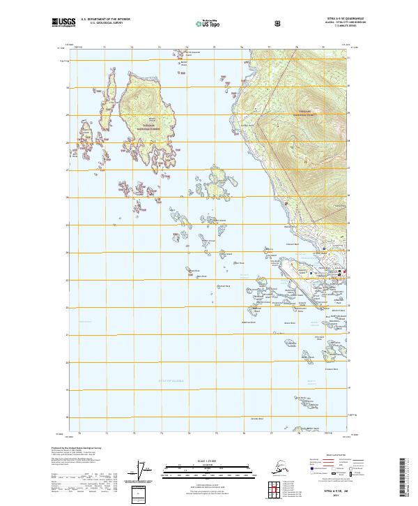
2021 Map of Sitka A-5 SE
USGS Topo · Published 2021About this map
The coastal fringe of the Tongass National Forest meets the intricate archipelago of Sitka Sound in this detailed 2021 study. The map centers on the historical and modern infrastructure of the Sitka waterfront, where Thomsen Harbor and Sitka Harbor provide vital shelter for maritime activity. Notable landmarks offer a window into the area's complex heritage, from the site of Castle Hill to the resting place at Princess Maksutov's Grave and the nearby Russian Cem. This map illustrates the unique island geography that shapes the community, with the Sitka Rocky Gutierrez Airport occupying a reclaimed stretch of land surrounded by the Western Channel and Whiting Harbor. Beyond the immediate town site, the survey documents the numerous islands of the sound, including Middle Island, the Kasiana Islands, and the Parker Group, tracing the rugged shoreline and navigational hazards like Keene Rock and Makhnati Rock.
Find a feature on this map
94 named features on this map. Tap any name to fly to it.
Don’t see what you’re looking for? This feature index may not catch every label — zoom into the map to look around manually.
Map Details
Editions of this 2021 Sitka A-5 SE Map
This is the sole edition of this map. No revisions or reprints were ever made.
Other maps of this area

1948 · Sitka A-5
USGS Topo · 1:63,360

1951 · Port Alexander D-5
USGS Topo · 1:63,360

1951 · Sitka
USGS Topo · 1:250,000

1951 · Port Alexander D-4
USGS Topo · 1:63,360

1951 · Port Alexander
USGS Topo · 1:250,000

1951 · Sitka A-4
USGS Topo · 1:63,360

1951 · Sitka A-5
USGS Topo · 1:63,360

1952 · Port Alexander
USGS Topo · 1:250,000

1952 · Sitka
USGS Topo · 1:250,000

1954 · Sitka A-4
USGS Topo · 1:63,360