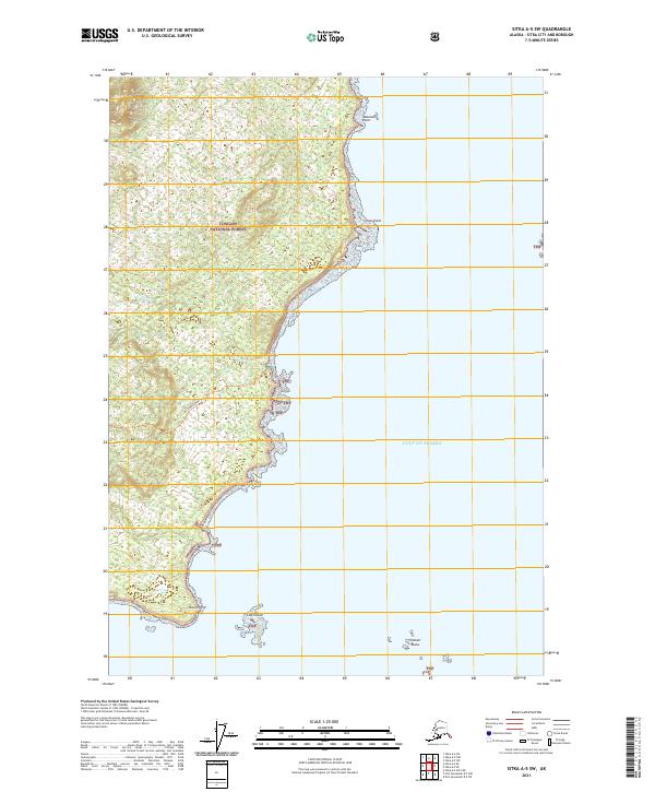
2021 Map of Sitka A-5 SW
USGS Topo · Published 2021About this map
Tongass National Forest dominates this coastal landscape along the western edge of Sitka Sound, where the temperate rainforest meets the open Gulf Of Alaska. The map detail follows a rugged shoreline defined by prominent landmarks such as Mountain Point, Inner Point, and Shoals Point. A primary corridor for exploration is the Mt Edgecumbe Trl, which winds through the dense forest and across numerous townships. Off the coast, the marine environment is punctuated by small landforms including Low Island and the Vitskari Rocks, serving as critical navigation points for those traversing the waters of the Alexander Archipelago. The presence of Freds Cr and various unnamed drainages highlights the intricate hydrology typical of this maritime region. This survey serves as a modern baseline for understanding the land-sea interface in one of America's largest national forests.
Find a feature on this map
14 named features on this map. Tap any name to fly to it.
Don’t see what you’re looking for? This feature index may not catch every label — zoom into the map to look around manually.
Map Details
Editions of this 2021 Sitka A-5 SW Map
This is the sole edition of this map. No revisions or reprints were ever made.
Other maps of this area

1948 · Sitka A-5
USGS Topo · 1:63,360

1951 · Sitka A-6
USGS Topo · 1:63,360

1951 · Port Alexander D-5
USGS Topo · 1:63,360

1951 · Sitka
USGS Topo · 1:250,000

1951 · Port Alexander
USGS Topo · 1:250,000

1951 · Sitka A-5
USGS Topo · 1:63,360

1952 · Port Alexander
USGS Topo · 1:250,000

1952 · Sitka
USGS Topo · 1:250,000

1964 · Sitka
USGS Topo · 1:250,000

1964 · Port Alexander
USGS Topo · 1:250,000