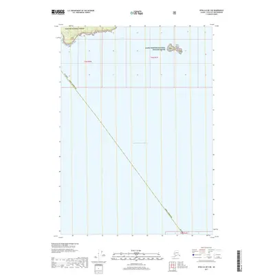
2017 Map of Sitka A-6 OE S NE
USGS Topo · Published 2017About this map
The Saint Lazaria Islands stand as a central landmark in this coastal study, positioned within the Alaska Maritime National Wildlife Refuge where the waters of Sitka Sound meet the open Gulf of Alaska. The map illustrates a section of the Tongass National Forest at the northern edge of the sheet, centered around Sitka Point. This 2017 survey emphasizes the maritime and protected status of the area, charting the boundary of the Sitka Borough as it extends across the sea. Unlike typical topographic maps focused on inland development, this sheet is dominated by deep-water hydrography and the preservation of remote island habitats along the rugged Alaskan coast.
Find a feature on this map
9 named features on this map. Tap any name to fly to it.
Don’t see what you’re looking for? This feature index may not catch every label — zoom into the map to look around manually.
Map Details
Editions of this 2017 Sitka A-6 OE S NE Map
This is the sole edition of this map. No revisions or reprints were ever made.
Other maps of this area

1948 · Sitka A-5
USGS Topo · 1:63,360

1951 · Sitka A-6
USGS Topo · 1:63,360

1951 · Port Alexander D-5
USGS Topo · 1:63,360

1951 · Sitka
USGS Topo · 1:250,000

1951 · Port Alexander
USGS Topo · 1:250,000

1951 · Sitka A-5
USGS Topo · 1:63,360

1952 · Port Alexander
USGS Topo · 1:250,000

1952 · Sitka
USGS Topo · 1:250,000

1964 · Sitka
USGS Topo · 1:250,000

1964 · Port Alexander
USGS Topo · 1:250,000