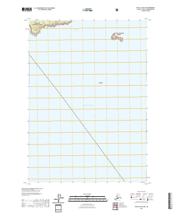
2021 Map of Sitka A-6 OE S NE
USGS Topo · Published 2021About this map
The Saint Lazaria Islands and Sitka Point anchor the northern reaches of this coastal map, where the complex island systems of Southeast Alaska meet the open Gulf of Alaska. Included within the Alaska Maritime National Wildlife Refuge and Tongass National Forest, these landforms represent the rugged maritime boundary of the Sitka region. The waters of Sitka Sound dominate the upper portion of the survey, transitioning into the expansive deep waters of the Pacific. This 2021 update traces the precise shoreline and protected wilderness boundaries of an area defined more by its nautical geography than by land-based development.
Find a feature on this map
10 named features on this map. Tap any name to fly to it.
Don’t see what you’re looking for? This feature index may not catch every label — zoom into the map to look around manually.
Map Details
Editions of this 2021 Sitka A-6 OE S NE Map
This is the sole edition of this map. No revisions or reprints were ever made.
Other maps of this area

1948 · Sitka A-5
USGS Topo · 1:63,360

1951 · Sitka A-6
USGS Topo · 1:63,360

1951 · Port Alexander D-5
USGS Topo · 1:63,360

1951 · Sitka
USGS Topo · 1:250,000

1951 · Port Alexander
USGS Topo · 1:250,000

1951 · Sitka A-5
USGS Topo · 1:63,360

1952 · Port Alexander
USGS Topo · 1:250,000

1952 · Sitka
USGS Topo · 1:250,000

1964 · Sitka
USGS Topo · 1:250,000

1964 · Port Alexander
USGS Topo · 1:250,000