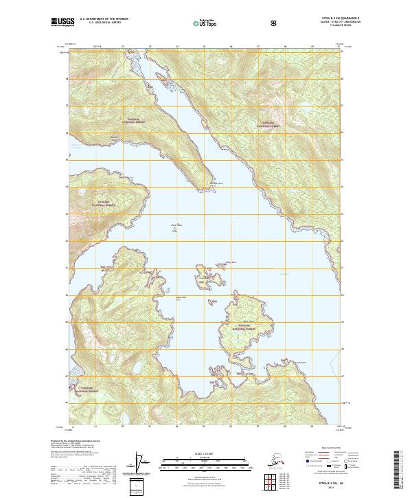
2021 Map of Sitka B-3 SW
USGS Topo · Published 2021About this map
Baranof Island and the complex waters of Kelp Bay define this coastal landscape within the Tongass National Forest. The map shows a region shaped by maritime geography, where deep inlets like Middle Arm Kelp Bay and Portage Arm carve into the mountainous island interior. Navigation and coastal features are documented through numerous named hazards and landmarks, including Zubof Rock, Plover Rock, and Yellow Rock. The topography is dominated by steep elevation gains rising directly from the shoreline, with Glacial River draining the southern slopes into the salt water. Coastal researchers will find detailed shoreline data around Portage Point and the sheltered waters of The Basin, illustrating the intricate relationship between the forest and the North Pacific.
Find a feature on this map
20 named features on this map. Tap any name to fly to it.
Don’t see what you’re looking for? This feature index may not catch every label — zoom into the map to look around manually.
Map Details
Editions of this 2021 Sitka B-3 SW Map
This is the sole edition of this map. No revisions or reprints were ever made.
Other maps of this area

1948 · Sitka B-3
USGS Topo · 1:63,360

1948 · Sitka A-3
USGS Topo · 1:63,360

1951 · Sitka B-4
USGS Topo · 1:63,360

1951 · Sitka
USGS Topo · 1:250,000

1951 · Sitka A-4
USGS Topo · 1:63,360

1951 · Sitka B-3
USGS Topo · 1:63,360
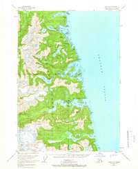
1951 · Sitka A-3
USGS Topo · 1:63,360

1952 · Sitka
USGS Topo · 1:250,000

1954 · Sitka A-4
USGS Topo · 1:63,360

1964 · Sitka
USGS Topo · 1:250,000