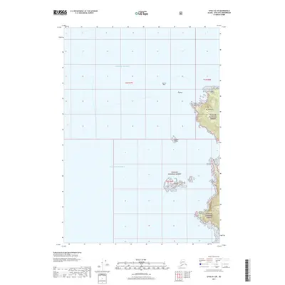
2017 Map of Sitka B-6 SW
USGS Topo · Published 2017About this map
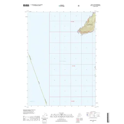
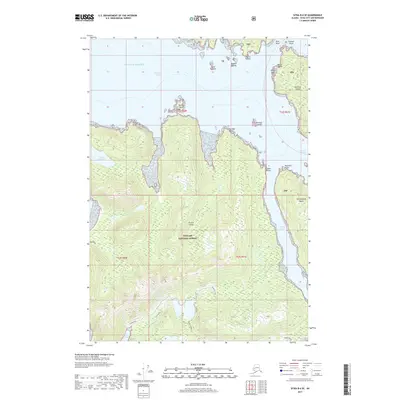
Gulf of Alaska waters dominate this coastal survey, where the rugged maritime edges of the Tongass National Forest meet the Pacific. The terrain is defined by dramatic coastal features like Cape Georgiana and the neighboring peak of Mt Georgiana, which overlooks the secluded Lake Surprise. This area serves as a critical navigation point for those studying the archipelago's topography and natural landmarks. Numerous hazardous offshore features are documented, including Morskoi Rock, Sea Rock, and the scattered Sealion Islands, illustrating the complex shoreline that characterizes the approach to Point Kruzof. Further south, the map charts the narrow reach of Twin Point and the isolated Eagle Rock, providing a detailed look at the island's uninhabited western fringe during the late 2010s.
Find a feature on this map
14 named features on this map. Tap any name to fly to it.
Don’t see what you’re looking for? This feature index may not catch every label — zoom into the map to look around manually.
Map Details
Editions of this 2017 Sitka B-6 SW Map
This is the sole edition of this map. No revisions or reprints were ever made.
Other maps of this area

1951 · Sitka A-6
USGS Topo · 1:63,360

1951 · Sitka B-6
USGS Topo · 1:63,360

1951 · Sitka
USGS Topo · 1:250,000

1952 · Sitka
USGS Topo · 1:250,000

1964 · Sitka
USGS Topo · 1:250,000
1996 · Sitka B-6
USGS Topo · 1:63,360
2017 · Sitka B-6 NW
USGS Topo · 1:25,000
2017 · Sitka A-6 NE
USGS Topo · 1:25,000
2017 · Sitka A-6 NW
USGS Topo · 1:25,000
2017 · Sitka B-6 SE
USGS Topo · 1:25,000