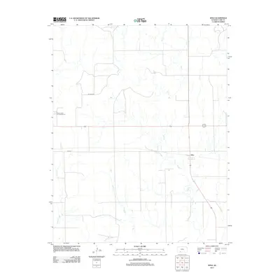
2012 Map of Sitka
USGS Topo · Published 2012About this map
Sitka is the primary settlement on this Southern Kansas landscape, serving as a quiet focal point in Clark County. The community's local history is anchored by the presence of Saint Josephs and Highland Cem, a significant site for genealogists researching the area's early families. The terrain is defined by the winding paths of Day Cr and Spring Cr, which break up the geometric precision of the section lines and local thoroughfares like Mt Jesus Rd and Sitka Rd. This 2012 survey documents a largely agricultural and ranching environment where the survival of small-town landmarks provides essential context for understanding the settlement patterns of the Great Plains.
Find a feature on this map
7 named features on this map. Tap any name to fly to it.
Don’t see what you’re looking for? This feature index may not catch every label — zoom into the map to look around manually.
Map Details
Editions of this 2012 Sitka Map
This is the sole edition of this map. No revisions or reprints were ever made.
Other maps of this area
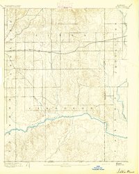
1894 · Sitka
USGS Topo · 1:62,500
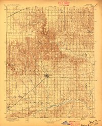
1896 · Ashland
USGS Topo · 1:125,000
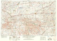
1955 · Pratt
USGS Topo · 1:250,000
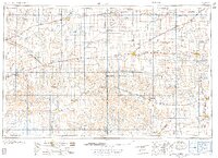
1959 · Pratt
USGS Topo · 1:250,000
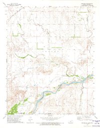
1972 · Ashland SE
USGS Topo · 1:24,000
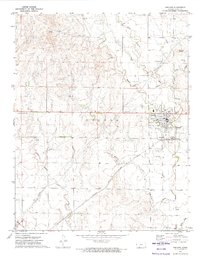
1972 · Ashland
USGS Topo · 1:24,000
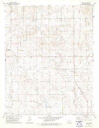
1979 · Sitka
USGS Topo · 1:24,000
1979 · Bloom SE
USGS Topo · 1:24,000
1979 · Sugarloaf
USGS Topo · 1:24,000
1979 · Sitka SW
USGS Topo · 1:24,000