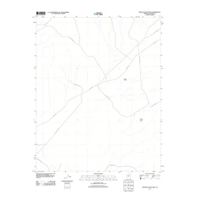
2011 Map of Sitting Coyote Hill
USGS Topo · Published 2011About this map
The high desert landscape of the Kaibito Plateau dominates this topographic survey of northern Arizona. The area is defined by a network of essential travel corridors, most notably the winding path of Indian Rte-21 which cuts diagonally across the center of the sheet. Rising prominently in the southeastern corner, Sitting Coyote Hill serves as a significant geographical landmark for navigating this portion of Coconino County. Beyond the primary routes, numerous Forest Service Rd branches and tribal roads like Indian Rte-6231 trace the drainage patterns and access points across the plateau. The map illustrates a region where transportation infrastructure follows the natural contours of the high plateau, reflecting the logistical patterns of the Navajo Nation and regional land management in the early twenty-first century.
Find a feature on this map
5 named features on this map. Tap any name to fly to it.
Don’t see what you’re looking for? This feature index may not catch every label — zoom into the map to look around manually.
Map Details
Editions of this 2011 Sitting Coyote Hill Map
This is the sole edition of this map. No revisions or reprints were ever made.
Other maps of this area

1886 · Echo Cliffs
USGS Topo · 1:250,000

1891 · Echo Cliffs
USGS Topo · 1:250,000

1956 · Marble Canyon
USGS Topo · 1:250,000
1957 · The Gap SW
USGS Topo · 1:24,000

1959 · Marble Canyon
USGS Topo · 1:250,000

1961 · Marble Canyon
USGS Topo · 1:250,000
1981 · The Gap
USGS Topo · 1:24,000
1982 · Toh Bih Nosteny
USGS Topo · 1:24,000
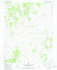
1982 · Sitting Coyote Hill
USGS Topo · 1:24,000
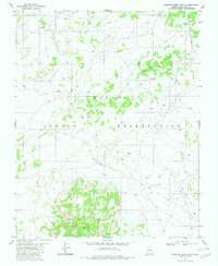
1982 · Preston Mesa North
USGS Topo · 1:24,000