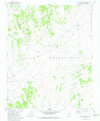
1982 Map of Sitting Coyote Hill
USGS Topo · Published 1982About this map
Navajo Indian Reservation lands in Coconino County define this arid landscape, where survival and movement are dictated by the underlying topography. The terrain is marked by significant geologic structures, most notably the Mormon Ridges and the expansive Crooked Ridge, which arcs through the southern and central portions of the quadrangle. These elevations provided natural landmarks for travelers across this remote high-desert area in the early 1980s.
Find a feature on this map
8 named features on this map. Tap any name to fly to it.
Don’t see what you’re looking for? This feature index may not catch every label — zoom into the map to look around manually.
Map Details
Editions of this 1982 Sitting Coyote Hill Map
This is the sole edition of this map. No revisions or reprints were ever made.
Other maps of this area

1886 · Echo Cliffs
USGS Topo · 1:250,000

1891 · Echo Cliffs
USGS Topo · 1:250,000

1956 · Marble Canyon
USGS Topo · 1:250,000
1957 · The Gap SW
USGS Topo · 1:24,000

1959 · Marble Canyon
USGS Topo · 1:250,000

1961 · Marble Canyon
USGS Topo · 1:250,000
1981 · The Gap
USGS Topo · 1:24,000
1982 · Toh Bih Nosteny
USGS Topo · 1:24,000
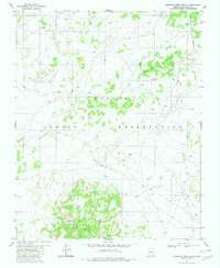
1982 · Preston Mesa North
USGS Topo · 1:24,000
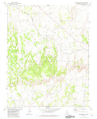
1982 · Arrowhead Mesa
USGS Topo · 1:24,000