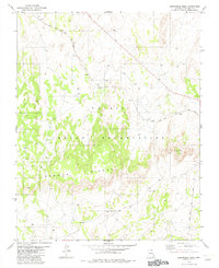
1982 Map of Arrowhead Mesa
USGS Topo · Published 1982About this map
The Navajo Indian Reservation land and the Black Mesa and Lake Powell railroad define this desert landscape in Coconino County during the early 1980s. This survey records a period when industrial infrastructure began to traverse the traditional geography of northern Arizona. The presence of the Borrow Pit alongside the rail line suggests active maintenance or recent construction phases for the coal-carrying railroad. Prominent geological formations like Arrowhead Mesa, the sharp profile of Wind Rock, and the undulating Mormon Ridges provide significant natural orientation points within the reservation. The map effectively captures the intersection of heavy transport corridors with a terrain primarily shaped by ancient ridges and mesas.
Find a feature on this map
8 named features on this map. Tap any name to fly to it.
Don’t see what you’re looking for? This feature index may not catch every label — zoom into the map to look around manually.
Map Details
Editions of this 1982 Arrowhead Mesa Map
This is the sole edition of this map. No revisions or reprints were ever made.
Other maps of this area

1886 · Echo Cliffs
USGS Topo · 1:250,000

1891 · Echo Cliffs
USGS Topo · 1:250,000

1956 · Marble Canyon
USGS Topo · 1:250,000

1959 · Marble Canyon
USGS Topo · 1:250,000

1961 · Marble Canyon
USGS Topo · 1:250,000
1981 · Big Whisker Well
USGS Topo · 1:24,000
1981 · Horsethief Mesa
USGS Topo · 1:24,000
1981 · Kaibito
USGS Topo · 1:24,000
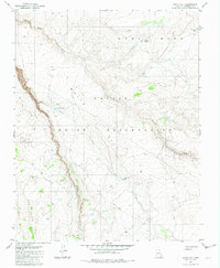
1982 · White Hill
USGS Topo · 1:24,000
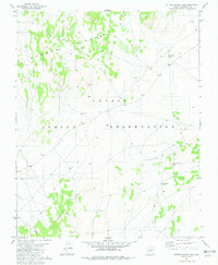
1982 · Sitting Coyote Hill
USGS Topo · 1:24,000