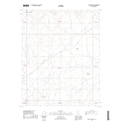
2018 Map of Sitting Coyote Hill
USGS Topo · Published 2018About this map
Kaibito Plateau dominates this high-altitude landscape in northern Arizona, where the topography is defined by dramatic elevations and named landforms. In the northwest, Little Black Mesa and the Mormon Ridges mark the terrain, while the southeastern portion of the quadrangle is anchored by the eponymous Sitting Coyote Hill. The network of travel through this remote stretch of Coconino County relies on specific arterial routes, most notably Indian Rte 21, which traverses the center of the plateau. This 2018 survey also identifies more localized paths such as Powerline Rd and Indian Rte 6231, reflecting the modern infrastructure and tribal route numbering systems used to navigate the vast distances between the Crooked Ridge area and surrounding highlands.
Find a feature on this map
17 named features on this map. Tap any name to fly to it.
Don’t see what you’re looking for? This feature index may not catch every label — zoom into the map to look around manually.
Map Details
Editions of this 2018 Sitting Coyote Hill Map
This is the sole edition of this map. No revisions or reprints were ever made.
Other maps of this area

1886 · Echo Cliffs
USGS Topo · 1:250,000

1891 · Echo Cliffs
USGS Topo · 1:250,000

1956 · Marble Canyon
USGS Topo · 1:250,000
1957 · The Gap SW
USGS Topo · 1:24,000

1959 · Marble Canyon
USGS Topo · 1:250,000

1961 · Marble Canyon
USGS Topo · 1:250,000
1981 · The Gap
USGS Topo · 1:24,000
1982 · Toh Bih Nosteny
USGS Topo · 1:24,000
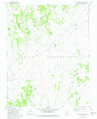
1982 · Sitting Coyote Hill
USGS Topo · 1:24,000
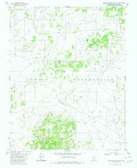
1982 · Preston Mesa North
USGS Topo · 1:24,000