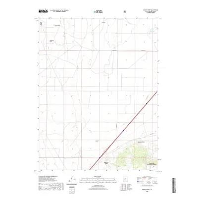
2020 Map of Sixmile Point
USGS Topo · Published 2020About this map
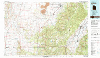
Pahvant Valley dominates this Millard County landscape, showcasing the open desert basins and distinct geologic markers characteristic of central Utah. The map detail highlights a series of prominent landmarks along the valley floor and rising ridges, including the appropriately named Sixmile Point and Eightmile Point. To the north, Beaver Ridge and Telegraph Point provide significant relief, while the Hole-in-the-Rock formation marks the northwestern corner of the quadrangle.
Find a feature on this map
13 named features on this map. Tap any name to fly to it.
Don’t see what you’re looking for? This feature index may not catch every label — zoom into the map to look around manually.
Map Details
Editions of this 2020 Sixmile Point Map
This is the sole edition of this map. No revisions or reprints were ever made.
Other maps of this area
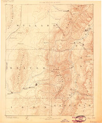
1885 · Beaver
USGS Topo · 1:250,000
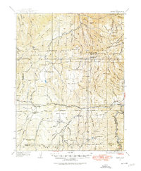
1932 · Sevier
USGS Topo · 1:62,500
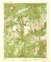
1935 · Sevier
USGS Topo · 1:62,500

1953 · Richfield
USGS Topo · 1:250,000

1958 · Richfield
USGS Topo · 1:250,000
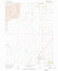
1960 · Meadow
USGS Topo · 1:24,000
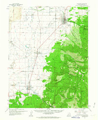
1962 · Fillmore
USGS Topo · 1:62,500
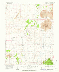
1962 · Tabernacle Hill
USGS Topo · 1:62,500
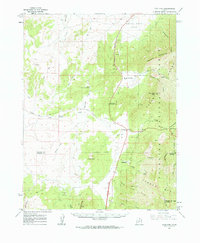
1962 · Cove Fort
USGS Topo · 1:62,500
1980 · Richfield
USGS Topo · 1:100,000