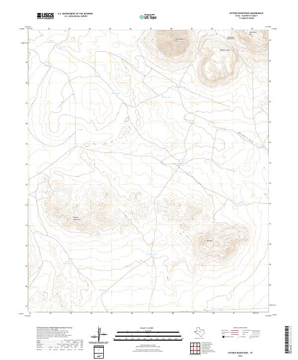
2022 Map of Sixteen Mountains
USGS Topo · Published 2022About this map
Sixteen Mountains dominates the high desert landscape of Hudspeth County, where complex topography defines a region shaped by arid-land ranching and natural drainage patterns. The land is marked by an extensive system of water management features, including the State Line Tank near the northern boundary and Double Mills Tank at a central drainage junction. These tanks, along with others like Wilkins Tank and Gonzalez Tank, indicate the critical infrastructure required for livestock in this corner of West Texas.
Find a feature on this map
21 named features on this map. Tap any name to fly to it.
Don’t see what you’re looking for? This feature index may not catch every label — zoom into the map to look around manually.
Map Details
Editions of this 2022 Sixteen Mountains Map
This is the sole edition of this map. No revisions or reprints were ever made.
Other maps of this area

1903 · Cerro Alto
USGS Topo · 1:125,000

1943 · San Antonio Mtn
USGS Topo · 1:62,500

1954 · Carlsbad
USGS Topo · 1:250,000

1954 · Van Horn
USGS Topo · 1:250,000

1955 · Cerro Diablo
USGS Topo · 1:62,500

1958 · Van Horn
USGS Topo · 1:250,000

1958 · Carlsbad
USGS Topo · 1:250,000

1959 · Alamo Mountain
USGS Topo · 1:62,500
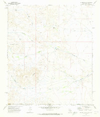
1970 · Mc Veigh Hills
USGS Topo · 1:24,000
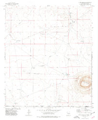
1975 · Alamo Mountain
USGS Topo · 1:24,000