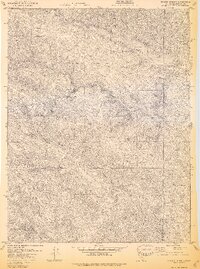
1978 Map of Skaggs Springs
USGS Topo · Published 1978About this map
Warm Springs Dam (Under Construction) stands as the centerpiece of this landscape, marking a period of massive hydrological change in Sonoma County. This survey captures the valley as Lake Sonoma began to take shape, eventually submerging portions of the Dry Creek and Warm Springs Creek drainages. The map serves as a vital record for researchers studying the geography before the full inundation of the area, showing the original course of waterways and the early footprints of infrastructure like Rockpile Road.
Find a feature on this map
27 named features on this map. Tap any name to fly to it.
Don’t see what you’re looking for? This feature index may not catch every label — zoom into the map to look around manually.
Map Details
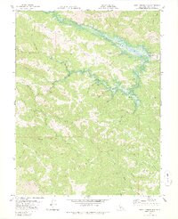
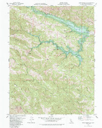
Editions of this 1978 Skaggs Springs Map
3 editions found
Other maps of this area

1920 · Healdsburg
USGS Topo · 1:62,500

1921 · Skaggs
USGS Topo · 1:62,500

1921 · Kelseyville
USGS Topo · 1:62,500

1933 · Healdsburg
USGS Topo · 1:48,000

1938 · Hopland
USGS Topo · 1:62,500

1940 · Healdsburg
USGS Topo · 1:62,500

1943 · Tombs Creek
USGS Topo · 1:24,000

1943 · Cazadero
USGS Topo · 1:24,000

1943 · Skaggs Springs
USGS Topo · 1:24,000

1943 · Fort Ross
USGS Topo · 1:24,000