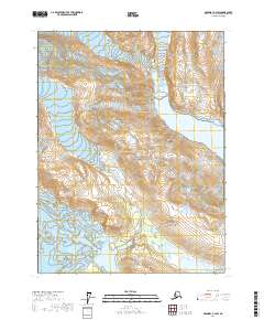
2017 Map of Skagway A-4 SW
USGS Topo · Published 2017About this map
Glacier Bay National Park dominates this terrain, revealing a landscape defined by dramatic glacial activity and tidal waters. The topography centers on the intersection of ancient ice and the sea, where the Carroll Glacier moves through the western reaches while the Bruce Hills rise to the south. This area serves as a primary study in post-glacial landscape evolution, as the massive ice sheets that once covered these peaks continue to recede and reshape the coastline. The waters of Muir Inlet penetrate the northeastern corner of the map, providing a glimpse into the intricate network of fjords that characterize this protected wilderness. In a region where the land is literally rising due to isostatic rebound, the map documents the precise contours of these transitioning elevations, from the sea-level inlets to the high ridges of the interior.
Find a feature on this map
8 named features on this map. Tap any name to fly to it.
Don’t see what you’re looking for? This feature index may not catch every label — zoom into the map to look around manually.
Map Details
Editions of this 2017 Skagway A-4 SW Map
This is the sole edition of this map. No revisions or reprints were ever made.
Other maps of this area

1948 · Mount Fairweather D-1
USGS Topo · 1:63,360

1948 · Mount Fairweather D-2
USGS Topo · 1:63,360

1950 · Mount Fairweather D-2
USGS Topo · 1:63,360

1951 · Mt Fairweather
USGS Topo · 1:250,000

1952 · Skagway
USGS Topo · 1:250,000

1954 · Mount Fairweather D-1
USGS Topo · 1:63,360
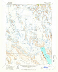
1961 · Skagway A-4
USGS Topo · 1:63,360
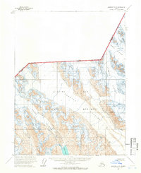
1961 · Skagway A-5
USGS Topo · 1:63,360

1961 · Mt Fairweather
USGS Topo · 1:250,000

1961 · Skagway
USGS Topo · 1:250,000