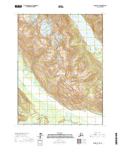
2017 Map of Skagway B-2 SW
USGS Topo · Published 2017About this map
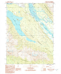
Chilkoot Lake dominates the northeastern corner of this coastal Alaskan landscape, where steep mountainous terrain meets the expansive braided channel of the Chilkat River. The topography is defined by the sharp elevations of the Takshanuk Mountains, including prominent landmarks like Cathedral Peak and Tukgahgo Mtn. These peaks overlook the water-rich lowlands where the Kicking Horse River and Takhin River feed into the primary river system, creating a complex network of wetlands and shifting gravel bars.
Find a feature on this map
16 named features on this map. Tap any name to fly to it.
Don’t see what you’re looking for? This feature index may not catch every label — zoom into the map to look around manually.
Map Details
Editions of this 2017 Skagway B-2 SW Map
This is the sole edition of this map. No revisions or reprints were ever made.
Other maps of this area

1952 · Skagway
USGS Topo · 1:250,000

1954 · Skagway B-2
USGS Topo · 1:63,360

1954 · Skagway A-3
USGS Topo · 1:63,360

1954 · Skagway A-2
USGS Topo · 1:63,360

1954 · Skagway B-3
USGS Topo · 1:63,360

1961 · Skagway
USGS Topo · 1:250,000
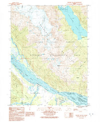
1991 · Skagway B-2 SW
USGS Topo · 1:25,000
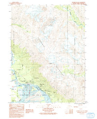
1991 · Skagway B-3 NE
USGS Topo · 1:25,000
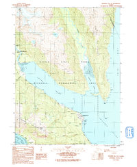
1991 · Skagway B-2 SE
USGS Topo · 1:25,000
1991 · Skagway B-3 SE
USGS Topo · 1:25,000