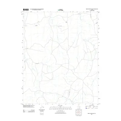
2012 Map of Skellytown NE
USGS Topo · Published 2012About this map
White Deer Cr and the multiple branches of Reynolds Cr define the drainage of this Texas Panhandle landscape. In this 2012 survey, the terrain is shaped by the practical needs of large-scale ranching operations, visible in the network of unpaved roads and isolated settlements like West Camp. Private landholdings are marked by family-named landmarks such as Priece Ranch and Hayhook Ranch, while the critical infrastructure of the high plains is noted through essential water-drawing sites like the Jog Section Windmill, Southeast Windmill, and New Windmill. The map tracks a sparse but deliberate grid of ranch roads, including N Price Ranch Rd and S Price Ranch Rd, which provide the only access across the sweeping cattle country of Hutchinson County.
Find a feature on this map
15 named features on this map. Tap any name to fly to it.
Don’t see what you’re looking for? This feature index may not catch every label — zoom into the map to look around manually.
Map Details
Editions of this 2012 Skellytown NE Map
This is the sole edition of this map. No revisions or reprints were ever made.
Other maps of this area

1954 · Amarillo
USGS Topo · 1:250,000

1958 · Amarillo
USGS Topo · 1:250,000

1963 · Pampa
USGS Topo · 1:24,000

1963 · Skellytown
USGS Topo · 1:24,000

1965 · Lake Mc Connell
USGS Topo · 1:24,000

1971 · Skellytown NW
USGS Topo · 1:24,000

1971 · Dry Creek South
USGS Topo · 1:24,000

1971 · Skellytown NE
USGS Topo · 1:24,000

1971 · Adobe Creek SW
USGS Topo · 1:24,000

1971 · Pampa NW
USGS Topo · 1:24,000