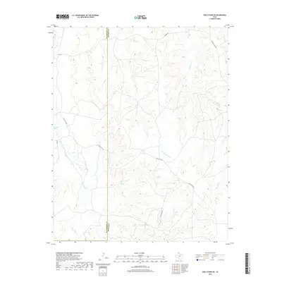
2019 Map of Skellytown NE
USGS Topo · Published 2019About this map
The Hutchinson County and Roberts County boundary bisects this high plains landscape, defined by a series of branching creek systems and ranching roads. Central to the area is the winding course of White Deer Creek, which is supported by the localized flow of White-Deer Springs in the western portion of the quadrangle. The terrain is deeply dissected by the headwaters of the Reynolds Creek system, including its western branch, the W Fork Reynolds Creek. This network of drainages creates a complex topography that has historically dictated the placement of transportation routes. Access through this livestock-raising country is provided by several established ranch roads, notably N Price Ranch Rd, S Price Ranch Rd, and Morrison Ranch Rd, which follow the natural contours of the land between the draws and tributaries.
Find a feature on this map
11 named features on this map. Tap any name to fly to it.
Don’t see what you’re looking for? This feature index may not catch every label — zoom into the map to look around manually.
Map Details
Editions of this 2019 Skellytown NE Map
This is the sole edition of this map. No revisions or reprints were ever made.
Other maps of this area

1954 · Amarillo
USGS Topo · 1:250,000

1958 · Amarillo
USGS Topo · 1:250,000

1963 · Pampa
USGS Topo · 1:24,000

1963 · Skellytown
USGS Topo · 1:24,000

1965 · Lake Mc Connell
USGS Topo · 1:24,000

1971 · Skellytown NW
USGS Topo · 1:24,000

1971 · Dry Creek South
USGS Topo · 1:24,000

1971 · Skellytown NE
USGS Topo · 1:24,000

1971 · Adobe Creek SW
USGS Topo · 1:24,000

1971 · Pampa NW
USGS Topo · 1:24,000