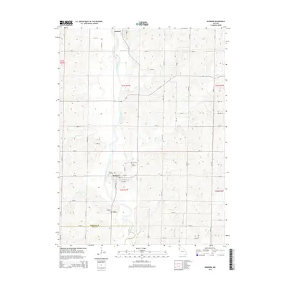
2014 Map of Skidmore
USGS Topo · Published 2014About this map
The Nodaway River defines the western edge of this agricultural landscape in northwest Missouri, where the community of Skidmore sits at a crossroads of county routes. This 2014 survey documents a region deeply rooted in its local history and family lineages, evidenced by several established burial grounds including Masonic Cemetery, Smith Cemetery, and Hillcrest Cemetery. The township grid is etched into the terrain by a network of numbered and named roads such as Eagle Rd and Empire Rd, which navigate the various drainage basins of Florida Creek and Bagby Creek.
Find a feature on this map
56 named features on this map. Tap any name to fly to it.
Don’t see what you’re looking for? This feature index may not catch every label — zoom into the map to look around manually.
Map Details
Editions of this 2014 Skidmore Map
This is the sole edition of this map. No revisions or reprints were ever made.
Other maps of this area

1926 · Maitland
USGS Topo · 1:62,500

1927 · Bolckow
USGS Topo · 1:62,500

1939 · Skidmore
USGS Topo · 1:62,500

1941 · Skidmore
USGS Topo · 1:62,500

1942 · Skidmore
USGS Topo · 1:62,500

1943 · Maryville
USGS Topo · 1:62,500

1945 · Bolckow
USGS Topo · 1:62,500

1955 · Nebraska City
USGS Topo · 1:250,000

1957 · Nebraska City
USGS Topo · 1:250,000

1958 · Nebraska City
USGS Topo · 1:250,000