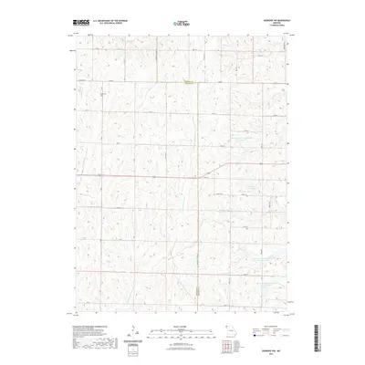
2021 Map of Skidmore NW
USGS Topo · Published 2021About this map
London Cem sits in the northwest reaches of this landscape, marking a point of interest for genealogists tracing local families in Atchison and Nodaway counties. The terrain is defined by the drainages of Little Tarkio Cr and the E Fork Little Tarkio Cr, which wind through a grid of rural roads like State Hwy M and Nodaway Atchison Rd.
Find a feature on this map
36 named features on this map. Tap any name to fly to it.
Don’t see what you’re looking for? This feature index may not catch every label — zoom into the map to look around manually.
Map Details
Editions of this 2021 Skidmore NW Map
This is the sole edition of this map. No revisions or reprints were ever made.
Other maps of this area

1939 · Tarkio
USGS Topo · 1:62,500

1939 · Farragut
USGS Topo · 1:62,500

1939 · Skidmore
USGS Topo · 1:62,500

1940 · Tarkio
USGS Topo · 1:62,500

1940 · Farragut
USGS Topo · 1:62,500

1940 · Coin
USGS Topo · 1:62,500

1941 · Tarkio
USGS Topo · 1:62,500

1941 · Skidmore
USGS Topo · 1:62,500

1942 · Skidmore
USGS Topo · 1:62,500

1943 · Coin
USGS Topo · 1:62,500