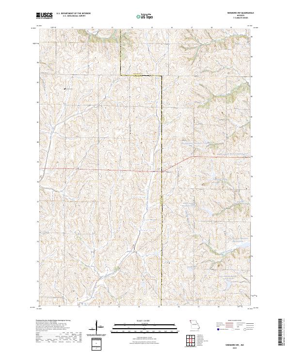
2023 Map of Skidmore NW
USGS Topo · Published 2023About this map
London Cem sits in the northwest reaches of the landscape, a quiet landmark within the rural agricultural fabric where Nodaway and Atchison counties meet. This terrain is defined by a sophisticated water management system of reservoirs and small lakes, including Nodaway-C-20 Lake, Derr Lake, and Linville Lake. These structures, part of the Hoover-Frankum Watershed project, reflect modern efforts to control drainage across the undulating hills of northwest Missouri.
Find a feature on this map
36 named features on this map. Tap any name to fly to it.
Don’t see what you’re looking for? This feature index may not catch every label — zoom into the map to look around manually.
Map Details
Editions of this 2023 Skidmore NW Map
This is the sole edition of this map. No revisions or reprints were ever made.
Other maps of this area

1939 · Tarkio
USGS Topo · 1:62,500

1939 · Farragut
USGS Topo · 1:62,500

1939 · Skidmore
USGS Topo · 1:62,500

1940 · Tarkio
USGS Topo · 1:62,500

1940 · Farragut
USGS Topo · 1:62,500

1940 · Coin
USGS Topo · 1:62,500

1941 · Tarkio
USGS Topo · 1:62,500

1941 · Skidmore
USGS Topo · 1:62,500

1942 · Skidmore
USGS Topo · 1:62,500

1943 · Coin
USGS Topo · 1:62,500