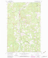
1963 Map of Skillet Mountain
USGS Topo · Published 1984About this map
Kootenai National Forest and the Flathead Nat. Forest dominate this high-country landscape in Lincoln and Flathead counties. The topography is defined by the steep slopes of Skillet Mountain and Swamp Mountain, where a complex network of drainage basins feeds into Fortine Creek and its many tributaries, including White Creek and Twin Meadows Creek. The map documents the vital infrastructure of the era, notably the Burlington Northern railroad line that cuts through the center of the sheet, featuring a marked Tunnel Entrance. Evidence of Forest Service operations is clear at the Twin Meadows Guard Sta, while a Pack Trail and several unpaved routes provide access through the dense woodland. This 1983 photorevision incorporates 1960s photogrammetric data, capturing the transition of the regional timber and rail economy before modern shifts in land management.
Find a feature on this map
26 named features on this map. Tap any name to fly to it.
Don’t see what you’re looking for? This feature index may not catch every label — zoom into the map to look around manually.
Map Details
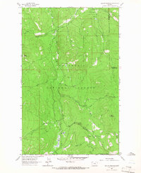
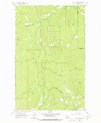
Editions of this 1963 Skillet Mountain Map
3 editions found
Other maps of this area

1913 · Stryker
USGS Topo · 1:125,000

1916 · Stryker
USGS Topo · 1:125,000

1920 · Jennings
USGS Topo · 1:125,000

1935 · Thompson Lakes
USGS Topo · 1:96,000

1942 · Thompson Lakes
USGS Topo · 1:125,000

1957 · Kalispell
USGS Topo · 1:250,000

1960 · Kalispell
USGS Topo · 1:250,000

1961 · Kalispell
USGS Topo · 1:250,000

1963 · Davis Mountain
USGS Topo · 1:24,000

1963 · Warland Peak
USGS Topo · 1:24,000