
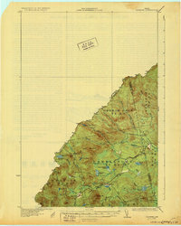
1931 Map of Skinner
USGS Topo · Published 1931About this map
The Canadian Pacific railroad cuts through the remote borderlands of Franklin and Somerset counties in this 1928 survey. The landscape is defined by its industrial transit and water-powered history, centered on the small settlements of Skinner and Lowelltown. This area, situated along the Canada United States border, shows a complex network of waterways including the Dead River and Moose River, which were central to the region's logging and frontier economy.
Find a feature on this map
38 named features on this map. Tap any name to fly to it.
Don’t see what you’re looking for? This feature index may not catch every label — zoom into the map to look around manually.
Map Details
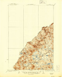
Editions of this 1931 Skinner Map
3 editions found
Other maps of this area

1923 · Attean
USGS Topo · 1:62,500

1925 · Attean
USGS Topo · 1:62,500

1927 · Sandy Bay
USGS Topo · 1:48,000

1928 · Chain Lakes
USGS Topo · 1:48,000

1928 · Skinner
USGS Topo · 1:48,000

1928 · Spencer
USGS Topo · 1:48,000

1930 · Sandy Bay
USGS Topo · 1:62,500

1932 · Spencer
USGS Topo · 1:62,500

1932 · Arnold Pond
USGS Topo · 1:48,000

1932 · Chain Lakes
USGS Topo · 1:62,500