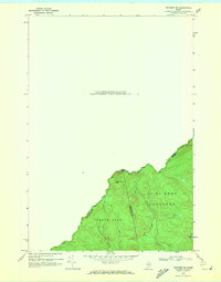
1970 Map of Skinner NE
USGS Topo · Published 1973About this map
The international boundary between Canada and the United States defines the northwestern limit of this topographic study, where the border follows the height of land between Frontenac County, Quebec, and the northern Maine frontier. The terrain is marked by the prominence of Sixtynine Mtn and the drainage patterns of the West Branch Gulf Stream and East Branch Gulf Stream. In this era, the area remained largely unincorporated timberland, divided into historical survey tracts such as Forsythe, Gorham Gore, and T 6 R 2 N B K P. Human activity is represented by a network of primitive routes, including a Jeep Trail and various other paths that navigate the slopes toward Turner Pond. The map illustrates the specific intersection of Somerset and Franklin counties along the international line, capturing a landscape dominated by watershed geography rather than permanent settlement.
Find a feature on this map
13 named features on this map. Tap any name to fly to it.
Don’t see what you’re looking for? This feature index may not catch every label — zoom into the map to look around manually.
Map Details
Editions of this 1970 Skinner NE Map
2 editions found
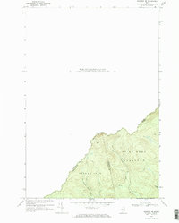
Other maps of this area

1923 · Attean
USGS Topo · 1:62,500

1925 · Attean
USGS Topo · 1:62,500

1927 · Sandy Bay
USGS Topo · 1:48,000

1928 · Skinner
USGS Topo · 1:48,000

1930 · Sandy Bay
USGS Topo · 1:62,500

1931 · Skinner
USGS Topo · 1:62,500

1944 · Sandy Bay
USGS Topo · 1:62,500

1949 · Jackman
USGS Topo · 1:250,000

1950 · Attean
USGS Topo · 1:50,000

1963 · Jackman
USGS Topo · 1:250,000